Maps
Auckland (AT)
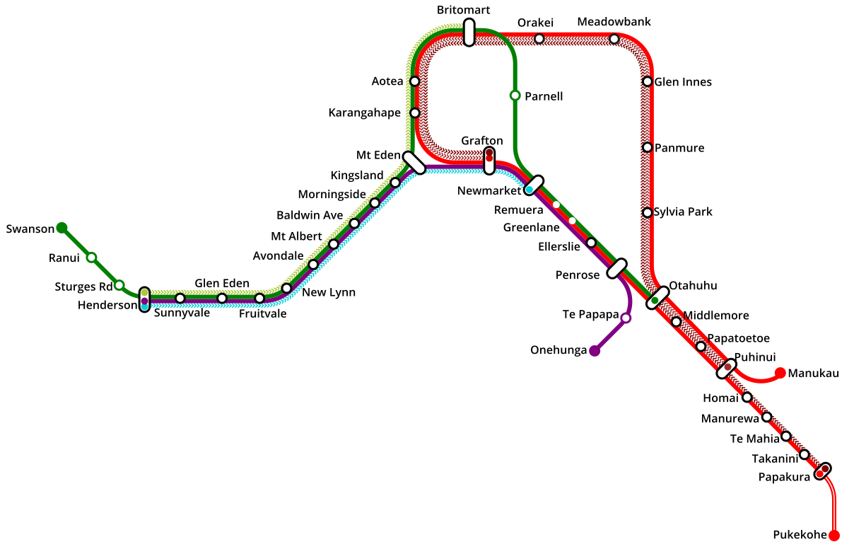
In 2019, I got to work with the fine folks at Auckland Transport on the expected fleet impacts from the 2025 opening of the City Rail Link (CRL). The current strip map can't easily be modified to include the CRL tunnel section, and the most prominent public-facing documents at this early stage weren't clear about the exact route structure. So I started from scratch and made a diagram that I could easily tweak to help walk through alternatives in our report. These are not necessarily the route combinations I would suggest--I might split the the eastern line intro cross-regional services instead of doubling back on itself, even if that means Grafton sees minimal service, but they had good reason to use this network shape instead.
Notes on Design: Auckland's isthmus geography is very identifiable, but because the focus was on conveying routing choices more than wayfinding I wanted to keep it simple; hence no legend or geographical cues. The font is open sans.
Last updated: November 2019